 Geobru catalogue
regional authority
Type of resources
Available actions
Topics
INSPIRE themes
Keywords
Contact for the resource
Provided by
Years
Formats
Representation types
Update frequencies
status
Service types
Scale
Resolution
-

This view service is maintained for Osiris backward compatibility. Please do not use for a new application.
-
This download service is maintained for Osiris backward compatibility. Please do not use for a new application.
-
The "UrbIS - Contour lines" product represents the elevation of the Brussels region by means of contour lines with intervals of 0.5 metres. The dataset is freely downloadable as a zipped file.
-
This view service allows, by means of a formatted URL, to display the address points of the region Brussels, included in the BeSt Address dataset, the authentic source for the Brussels Region.
-
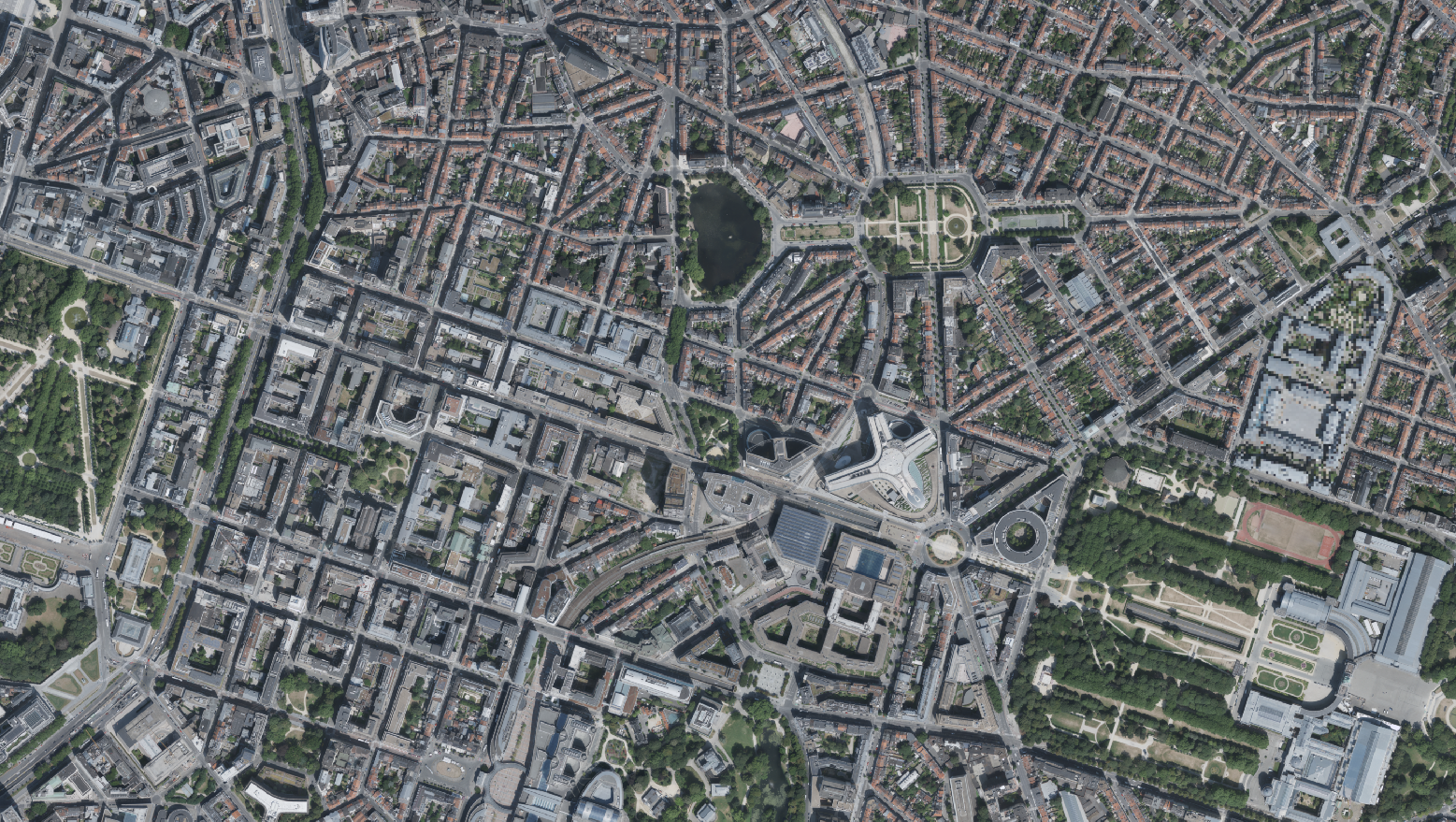
This dataset includes the RGB & NI (Red, Green, Blue and Near-Infrared) orthophotos created in 2022. The images cover the entire Brussels Capital Region, with a resolution of 5 centimeters. The dataset is freely downloadable as a zipped file.
-
This view service allows, by means of a formatted URL, to display all the UrbIS vectorial datasets.
-
This download service allows, by means of a formatted URL, to download any object of the UrbIS Topo reference vector dataset.
-
This view service allows, by means of a formatted URL, to display the UrbIS Topo reference vector dataset.
-
This view service allows, by means of a formatted URL, to display the statistical zones of the Brussels-Capital Region maintained by the Brussels institute for statistics and analysis.
-
This view service allows, by means of a formatted URL, to display all the 2D vectorial datasets that compose UrbIS M7.